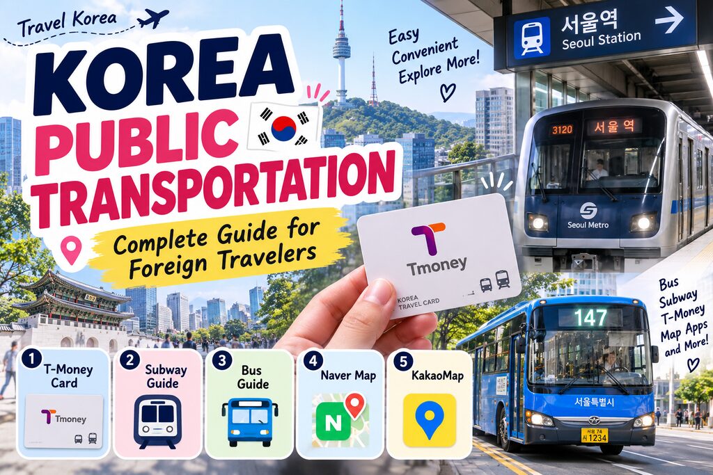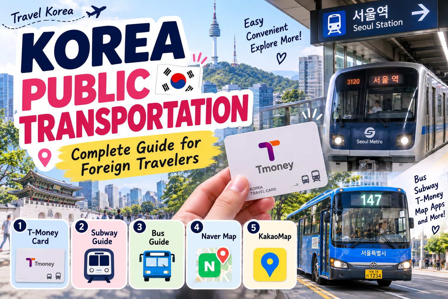
Korea Public Transportation: Complete Guide for Foreign Travelers
If you’re visiting for the first time, understanding Korea public transportation will make your trip much easier.
Subways and buses connect most major areas, especially in cities such as Seoul and Busan. The system itself is convenient, but choosing the right transportation card and navigation app can initially be confusing for international visitors.
Here’s what you need to know before getting around Korea.
1. Get a T-Money Card
One of the easiest ways to use public transportation is with a transportation card such as T-money.
You can use transportation cards on subways and buses and purchase them at locations including convenience stores and subway stations.
Instead of purchasing a new subway ticket for every journey, load money onto the card and tap it when traveling.
On the subway:
Tap when entering → Ride → Tap when exiting
On a bus:
Tap when boarding → Press the stop button → Tap when getting off
Tapping when you leave a bus is important when using the transfer system.
2. Using the Seoul Subway
For most first-time visitors, the subway is the easiest way to explore Seoul.
Popular areas including Myeongdong, Hongdae, Gangnam, Dongdaemun and major sightseeing districts are connected through Seoul’s extensive subway network.
Stations have numbered exits, and this matters more than many first-time visitors expect.
A large station may have many exits, so always check the recommended exit for your destination before leaving the station.
For example:
Station → Exit Number → Walking Route → Destination
This can save you from walking around the entire station after taking the wrong exit.
3. Using Buses in Korea
Buses are extremely useful once you become familiar with the system.
They can reach neighborhoods that require a longer walk from subway stations, but the routes may initially feel more complicated than the subway.
In Seoul, passengers generally board through the front door, tap their transportation card, press the stop button before their stop, tap again and leave through the rear door.
For your first few days, use a navigation app rather than trying to memorize bus numbers.
Once you have Naver Map or KakaoMap, using Korean buses becomes considerably easier.
4. How Subway and Bus Transfers Work
One of the advantages of Korea public transportation is the integrated transfer system.
When transferring between eligible buses and subways, your transportation card calculates the applicable fare instead of simply treating every ride as an entirely separate journey.
This is another reason you should remember to tap your card when getting off a bus.
In Seoul, transfer rules depend on factors including the time between rides and the routes being used.
For tourists, the simplest rule is:
Always tap when you enter and when you leave.
Let the system calculate the rest.
5. Use Naver Map in Korea
For international travelers, I recommend installing Naver Map before arriving.
It provides routes for walking, driving and public transportation, as well as information about restaurants, cafés and attractions.
It currently supports Korean, English, Japanese and Simplified Chinese.
Search for your destination and the app can show you which subway or bus to take, where to transfer and approximately how long the journey will take.
This is especially useful when traveling somewhere that requires both a subway and bus.
Naver Map Tip
Save your hotel, restaurants and attractions before your trip.
Then you can simply open your saved places instead of searching for every destination again.
6. What About KakaoMap?
KakaoMap is another popular Korean navigation app.
It provides walking, driving and public transportation directions and is useful for searching local places.
According to the Korea Tourism Organization’s current guidance, KakaoMap offers Korean and English services, while Naver Map provides a wider selection of languages.
You don’t necessarily need both.
For most foreign tourists, installing Naver Map first is enough. You can add KakaoMap as a second option if you want to compare routes or search results.
7. Can You Use Google Maps in Korea?
Google Maps can still be useful for finding places and checking general locations, but it shouldn’t be your only navigation app in Korea.
The Korea Tourism Organization specifically recommends Korean alternatives such as Naver Map and KakaoMap for navigation.
For everyday sightseeing, public transportation routes and local businesses, having Naver Map installed will generally make your trip much easier.
8. Useful Transportation Apps
You don’t need ten different apps for one Korea trip.
A few well-chosen ones are enough.
Naver Map — Maps, walking routes and public transportation
KakaoMap — Alternative local map and route search
Seoul Subway — Subway routes, station information, exits and nearby facilities
KorailTalk — Useful when traveling between cities by train
The official Seoul Subway app also provides information such as station exits, restrooms, route recommendations and train congestion.
KorailTalk is useful if your itinerary includes KTX or other rail travel outside Seoul, and it supports multiple languages.
9. Subway or Bus: Which Is Better?
For your first trip, start with the subway.
It is easier to understand, stations are clearly marked and many major tourist attractions are conveniently accessible.
Use buses when:
- Your destination is far from a subway station
- A bus provides a much more direct route
- You want to explore residential neighborhoods
- Naver Map recommends a significantly easier bus route
After using Korean buses once or twice, they usually become much less intimidating.
10. Practical Tips for Foreign Travelers
Avoid weekday rush hour when possible, particularly if you’re carrying large luggage.
Check the exit number before arriving at your destination.
Keep your transportation card somewhere easy to reach, but separate from other contactless cards to prevent tapping the wrong one.
And don’t worry about memorizing Seoul’s subway map.
Your smartphone can handle most route planning for you.
For most tourists, Korea public transportation becomes surprisingly simple once you have a transportation card and Naver Map.
Recommended Setup for Your Korea Trip
If you want the simplest setup possible:
Transportation: T-money
Main map: Naver Map
Backup map: KakaoMap
Seoul subway: Seoul Subway
Intercity trains: KorailTalk
That’s enough for most travelers.
You don’t need to download every Korean transportation app before your flight.
Final Thoughts
Using Korea public transportation may look complicated when you first see Seoul’s subway map, but the actual system is relatively easy once you understand the basics.
Get a transportation card, install Naver Map and remember to tap your card correctly when using buses and subways.
For first-time visitors, use the subway as your main transportation method and add buses when they provide a more convenient route.
Once you’ve taken your first few trips, getting around Seoul will probably be much easier than you expected.
Related Articles